The Moon Is About to Flood Your Street on a Sunny Day
An 18.6-year lunar cycle is about to push ordinary high tides past flooding thresholds along most of the U.S. coastline. The twist: rising seas mean the same moon mechanics that never caused trouble before will now.
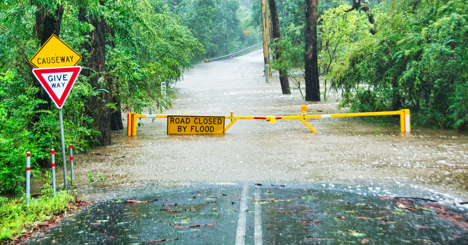
The Moon Doesn’t Care About Your Weather App
A hurricane gives you warning. A cold front gives you warning. What NASA described for the middle of this decade gives you almost none of that — and that absence of warning is the detail that matters.
Clear sky. Flat calm water. A street that floods anyway. That is the specific, unsettling scenario a 2021 NASA-led study put an actual date on, and the date is close enough now that understanding what is coming is no longer an exercise in curiosity.
The mechanism behind it is not new. The Moon has been raising two tidal bulges in Earth’s oceans for as long as there has been a Moon — one bulge reaching toward it, one left behind on the far side, with the planet rotating through both every day. What changes on a much longer clock is how tall those bulges get, and that longer clock is about to roll into the part of its cycle that makes an ordinary tide reach higher than it has in years.
The 18.6-Year Rhythm Hiding Inside Your Ordinary Tide
The Moon’s orbit is tilted relative to Earth’s equator, and that tilt itself slowly rotates, completing one full lap every 18.6 years — a rhythm astronomers have tracked for centuries. For roughly half of each cycle, the tilt works against the ordinary tidal bulge and mutes it, giving milder high tides than average. For the other half, it works with the bulge and stretches it taller.
We are currently past the muting half. The amplifying half begins in the middle of the next decade.
That timing is the entire problem.
An amplifying lunar cycle on its own has shown up every 18.6 years for the planet’s whole history without much incident, because the ordinary tide it stretches has always settled back down to roughly the same baseline afterward. This time the baseline itself has moved, quietly, underneath the cycle, thanks to decades of sea level rise from a warming ocean and melting ice. Layer a stronger tide on top of a higher starting point and the extra inches that used to stay in the harbor start reaching the parking lot.
What NASA Is Actually Predicting
Ben Hamlington, who leads NASA’s Sea Level Change Team at the Jet Propulsion Laboratory, put it plainly when the study came out: “We’re getting closer and closer to the flooding thresholds or tipping point in these coastal locations. The same variability in the past that didn’t cause flooding is now going to cause flooding.”
The numbers are stark. Once the amplifying phase lines up with current sea levels, a majority of the U.S. coastline will see three to four times as many high-tide flood days each year. Rather than spreading evenly through the calendar, those floods cluster into just a few months at a time — turning what used to be two or three nuisance floods a month into a dozen or more.
Three to four times is not a rounding error. It is a transformation of coastal life on a schedule nobody voted for.
NOAA’s own modeling for some East Coast tide stations puts the coming increase at somewhere between a 33 percent and 125 percent jump in nuisance flood days, depending on the location, once this wobble cycle and sea level rise stack together. That range is wide for a real reason: coastal geography, local land subsidence, and the shape of a given harbor all change how much extra water actually shows up on a given street. Which is also why the fix looks different from one coastline to the next instead of resolving into one national answer.
Why “No Storm” Is the Part That Should Worry Planners
William Sweet, an oceanographer with NOAA, has spent years describing this exact category of flood: minor by itself, dangerous in accumulation. “Right now, they’re mostly minor as individual events, but the cumulative frequency is starting to become damaging and taxing on infrastructure around America,” he said. “Now’s the time to start planning on how to live with water and maintain the viability of these important coastal communities.”
A dozen floods a month for a decade is not a single dramatic event a city can brace for once and move past. It is a slow tax on roads, drainage systems, and basements that never quite dry out — paid in small installments that are each too minor on their own to make the news.
People prepare for storms comparatively well. A named hurricane gets a forecast track, a curfew, sandbags stacked days ahead, an evacuation order if it is bad enough. Nuisance flooding gets none of that theater. And NOAA’s own definition of the phenomenon makes the mismatch obvious: minor tidal flooding that overtops old sea walls or pools water on low-lying roads, in the agency’s own words “not necessarily widespread or damaging, but just… relatively easy to navigate around.” Easy to navigate around is precisely the trap. A single flooded parking lot is a minor inconvenience. The same parking lot flooding a dozen times a month for ten years running becomes an infrastructure problem nobody budgeted for, because it never looked urgent enough on any one day to move up the list.
The Real Threat Is Boredom
The flooding will not look like the news footage most people picture when they hear the word. It looks like a parking lot with an inch of water in it on a calm afternoon with not a cloud overhead, which is exactly why it is easy to miss until it is routine. The risks that quietly become the biggest ones are rarely the dramatic ones.
Consider what a three-to-fourx increase in high-tide flood days actually does to a municipality. Road resurfacing cycles compress. Storm drains clog faster because they are never fully dry between events. Basement waterproofing becomes a recurring expense, not a one-time fix. Insurance models built on historical flood frequency suddenly underestimate exposure. Property values in low-lying neighborhoods may not crash overnight, but they will stagnate relative to higher ground — a slow transfer of wealth from coastal homeowners to inland ones, mediated by water that arrives without warning.
For residents, the message is practical rather than apocalyptic. If you own or manage property along a U.S. coastline, NOAA’s own tide and flooding outlook for your specific location is a better guide than any general warning. Check the tide tables before you check the weather. Pay attention to whether your street floods on a rising tide with no rain in sight — that is the signature of what is coming, and it is already visible at some stations.
Who Wins, Who Loses, and What Happens Next
The winners in this scenario are the engineers and planners who start acting before the water reaches the threshold. Cities that invest in elevated infrastructure, improved drainage, and green absorption zones now will face the amplified cycle with margins intact. Those that wait will discover that the cost of retrofitting after flooding becomes routine is several times the cost of building it in advance — and that the political will to spend money on a problem nobody sees on any single day is always harder to summon than the will to rebuild after one.
The losers are everyone who assumes the historical record is a reliable predictor of the future. The 18.6-year cycle has not changed. What has changed is the floor it rises from. Every inch of sea level rise since the last amplifying phase means the next one starts closer to the threshold. Each subsequent cycle will stack on top of a higher baseline, making the floods more frequent and more severe unless emissions drop and the rise slows.
None of this is a reason to panic about a specific street tomorrow. But the moon has been keeping this particular appointment for over four billion years. This is simply the decade it starts showing up on a lot more doorsteps — on calm afternoons when nobody is looking up.