America Just Rewrote Its Map — And Nothing on the Ground Moved
The US is retiring its two-century-old surveying framework, replacing every official latitude, longitude and height with coordinates that can shift by up to four meters. The ground stays still. The reference system behind the numbers doesn't.
The ground isn’t moving. America’s map is.
Every official latitude, longitude and height published in the United States is about to change — by as much as four meters. A fence post in Ohio will not move. A benchmark in Colorado will not change elevation. What is changing is the reference system those numbers are counted from, and the switch has real-world consequences that stretch from flood insurance to pipeline integrity to national defense.
The National Geodetic Survey is retiring the North American Datum of 1983 and the North American Vertical Datum of 1988. Those two frameworks underpin surveying, flood mapping, construction and aviation across the country. In their place come four new terrestrial reference frames and one new geopotential datum. The agency has maintained the nation’s reference system since its predecessor, the Survey of the Coast, was founded in 1807.
This is the most significant overhaul of American geodetic infrastructure in nearly forty years. The last update, NAD 83, was released in 1986. NAVD 88 followed in 1991. No major revision proved possible until now.
Why four meters matters
Four meters is the outer edge of the coordinate shift. The figure is not uniform. It depends on which datum a user currently works in, where in the country they are, and which epoch the new coordinates refer to. The National Geodetic Survey publishes separate maps for ellipsoid height change, orthometric height change and horizontal change across the North American and Pacific plates. The agency leads with a 2.2-meter figure for horizontal misalignment, but notes the range stretches to four meters depending on which frame is measured.
A property line does not shift. A river does not change course. But the coordinate describing any given point will differ. That gap between two descriptions of the same unmoved location is what the reform is fixing — and creating a brief window of confusion for everyone who depends on precise positioning.
Errors built into the blueprint
The modernization addresses two categories of systematic error that accumulated because the old datums were defined before satellite positioning existed.
Horizontally, NAD 83 was fixed at a time when the center of the Earth could not be located with the precision that satellites later supplied. Its origin does not sit where the center of the Earth is now understood to be. The misalignment runs about 2.2 meters — the figure the agency leads with — though a separate section of its own guidance cites a two-to-four-meter range depending on which of the three NAD 83 frames is meant. The page does not reconcile the two statements.
Vertically, NAVD 88 carries a bias of roughly half a meter and a tilt of about one meter coast to coast relative to the best global geoid models available today. An elevation measured in Maine and one measured in Oregon are not being compared against quite the same zero surface. Elsewhere the same comparison is expressed as a single range: the zero-elevation surface implied by NAVD 88 disagrees with current geoid estimates by about half to two meters.
Neither error is new. Both have been absorbed into decades of construction, mapping and legal description. Correcting them now forces a reckoning with every system that took the old numbers for granted.
Measuring gravity to fix height
Fixing the vertical error required measuring gravity, because the surface elevations are counted from is defined by gravity, which nothing visible marks. That was the work of Gravity for the Redefinition of the American Vertical Datum, a project that collected airborne gravity readings over the entire United States. Those readings fed into GEOID2022, a geoid model whose time-independent component represents the geoid at the reference epoch 2020.00.
GEOID2022 defines the zero-orthometric-height surface of the new datum, formally named the North American-Pacific Geopotential Datum of 2022. It replaces every existing geodetic vertical datum in the system, not only NAVD 88. The name carries 2022 even though the system may not arrive until mid-2026. The agency says the year in the title has no scientific meaning and the terms have been public long enough to stick. It also points out that NAD 83 was released in 1986 and NAVD 88 in 1991 — neither matched the year its predecessor system went live.
Frames that turn with the continent
The horizontal side is handled differently. Instead of one frame for the whole country, there are now four — one for each of the North American, Pacific, Caribbean and Mariana tectonic plates. Each is named for its plate and will turn at that plate’s average rate. Latitude and longitude in the stable interior of the North American plate should drift less over time than they would under the old single-frame approach. All four will be defined against the International Terrestrial Reference Frame of 2020, anchoring the United States to the same standard that underlies GPS, Galileo and other global navigation satellite systems.
That alignment with international standards is one of the motivations the agency cites. Another is simply that the old system no longer keeps up with the precision the hardware can deliver.
From brass discs to orbit
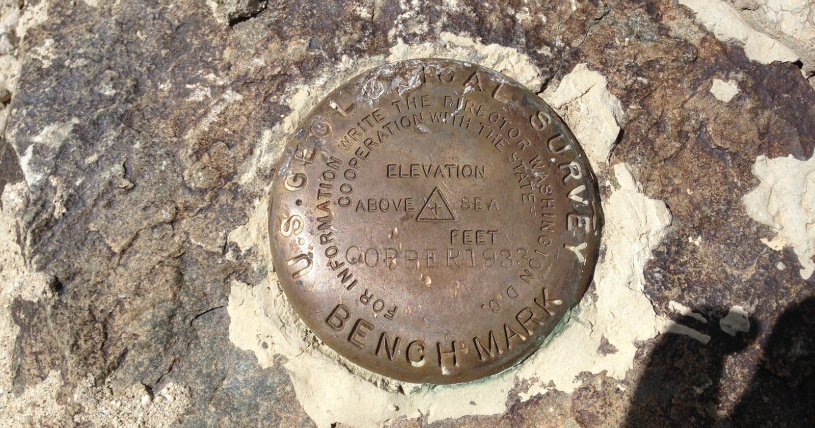
The current arrangement rests on physical objects. The National Geodetic Survey describes a network of more than 1,000 continuously operating satellite stations and an aging population of more than 1,000,000 survey marks set into the ground. Those marks are the brass discs hikers find on summits and surveyors hunt for in ditches. The agency’s own description is blunt: they are often deteriorated, destroyed or unmaintained, leaving the heights and positions attached to them outdated and inaccurate.
The modernized system moves control off the ground and into orbit. Access will run primarily through the NOAA reference station network and the International GNSS Service. The agency calls this a paradigm shift away from reaching the system by physically occupying a survey mark. The marks do not vanish. They will still carry published coordinates, and surveyors will still be able to contribute satellite data collected on them.
But the default path forward no longer requires kneeling on top of one.
Positions with expiration dates
Published positions under the new system will carry an epoch, because a position without a date stops being meaningful in a framework precise enough to see the continent move. The first reference epoch is 2020.00. That detail alone will require a recalibration of habit across industries that have treated coordinates as fixed truth.
The agency’s guidance on data sharing is internally inconsistent. One FAQ answer says shared user solutions — surveyors publishing their own computed positions — will not be supported because those solutions were never integrated with the official coordinates. The same FAQ also says users will be able to share solutions. The Track Our Progress page the FAQ points to says OPUS-Share will be retained, with a caveat that a shared solution should not be used as geodetic control. Contribution itself does not end. An updated version of the agency’s static processing service will still accept user satellite data, and the coordinates that result will be computed and published by NGS.
The timeline has already slipped once
The switch has not happened yet.
In 2020 the agency published a Federal Register notice saying the rollout was expected between 2022 and 2025. In October 2024 it revised that window to 2025 or 2026, setting out a sequence: components released for public testing, at least six months of testing after the last one lands, then a vote by the Federal Geodetic Control Subcommittee to approve the new system. The notice called that vote likely in 2026 and narrowed the guidance to mid-2026.
Mid-2026 has passed. The notice’s own window has not. NGS said it would mark the milestones with further Federal Register notices — one in late 2025 announcing that all components were available for testing, and one in 2026 after the approving vote. A search of the Federal Register for NOAA notices concerning the National Spatial Reference System published since June 2024 returns three documents. Only one concerns the reference system, and it is the October 2024 notice itself. Neither promised notice has appeared. Until the post-vote notice is published, NAD 83 and NAVD 88 remain the official datums of the United States.
The January 2027 deadline
There is a hard date on the calendar, even if the rollout is not yet final. Geodetic survey projects that create or update control in the current system must reach NGS by January 13, 2027. The agency will accept no new submissions after that date. Existing software remains available until the modernized system is fully implemented, but no new work enters the old record. The explanation is procedural rather than dramatic: the modernized system requires new databases, workflows, products and software services that differ from the current ones.
What follows will be a slower legal unwinding. The Geospatial Data Act of 2018 requires federal civilian agencies that collect, produce, acquire, maintain or disseminate geospatial data to use the new reference frames within five years of their adoption by the Federal Geographic Data Committee. State agencies or organizations receiving federal funds to generate or process geospatial data must conform. Others should follow applicable state or local laws or contract terms. Some states may need their statutes changed, and for those NGS and surveying organizations jointly drafted template legislation written loosely enough to refer to the most recent datum without naming it — so the same fight need not recur.
Flood insurance rate maps sit downstream of the vertical datum. NGS ran a pilot with FEMA in North Carolina as far back as 2010 to understand what a new height surface would do to them. The results have not been made public in the source material.
Who wins, who loses
The winners are anyone who depends on centimeter-level accuracy — autonomous vehicles, precision agriculture, infrastructure monitoring, defense targeting. The old system carried errors the hardware can now detect. Aligning the United States to the International Terrestrial Reference Frame of 2020 also removes a persistent mismatch between American coordinates and the positions reported by GPS receivers worldwide.
The losers are the institutions that built their workflows on the old numbers. Surveyors who have spent decades referencing brass discs will need to recalibrate. Engineers who designed structures to coordinates that are now technically wrong will face a choice: rebuild against the new frame or accept a systematic offset. Flood insurers will need to reconcile policies with new elevations. Property descriptions embedded in deeds may need correction, though the physical boundary does not move.
The system that is being replaced is an agreement about where zero is, and about which point in space every published number in the country is counted from. The brass discs in the ground will stay where they are, still carrying coordinates. But the system will no longer be reached by kneeling on top of one.